Map of the Stars - North Pole
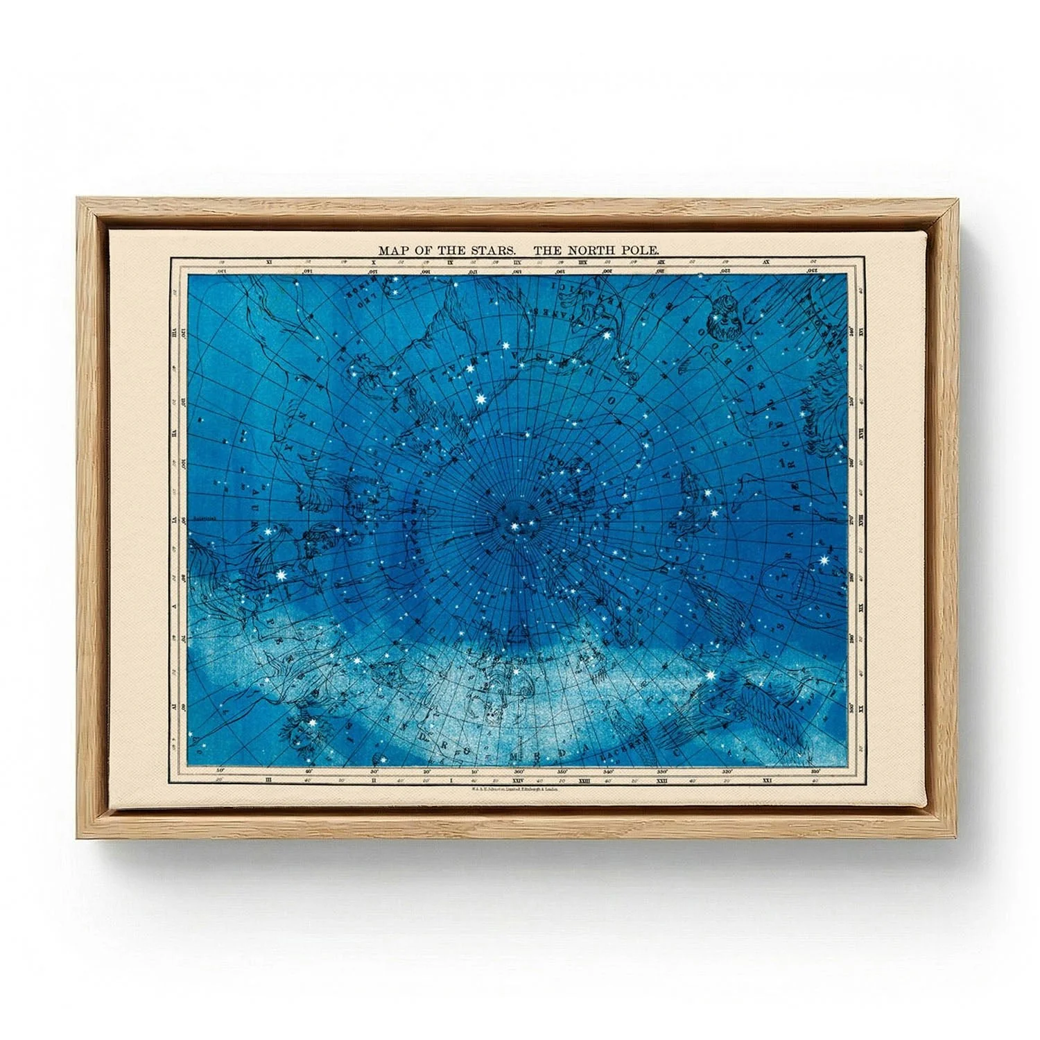
This vintage star map charts the northern celestial hemisphere with the measured precision of early scientific illustration — concentric circles, labelled constellations, and the calm authority of an age that mapped the heavens by hand. The composition radiates outward from the North Pole, organizing the night sky into a legible, almost meditative diagram. Its appeal lies in the tension between scientific rigour and visual elegance: a document that was always meant to be both useful and beautiful.
As a canvas print, the concentric geometry and hand-drawn constellation labels gain a parchment-like presence. The woven surface absorbs the restrained ink tones and lends the chart a quiet, almost archival depth — the scientific precision softened by texture, so the map reads less like a reproduction and more like an heirloom document resting on the wall.
This vintage star map charts the northern celestial hemisphere with the measured precision of early scientific illustration — concentric circles, labelled constellations, and the calm authority of an age that mapped the heavens by hand. The composition radiates outward from the North Pole, organizing the night sky into a legible, almost meditative diagram. Its appeal lies in the tension between scientific rigour and visual elegance: a document that was always meant to be both useful and beautiful.
As a canvas print, the concentric geometry and hand-drawn constellation labels gain a parchment-like presence. The woven surface absorbs the restrained ink tones and lends the chart a quiet, almost archival depth — the scientific precision softened by texture, so the map reads less like a reproduction and more like an heirloom document resting on the wall.
Original: $51.39
-65%$51.39
$17.99Description
This vintage star map charts the northern celestial hemisphere with the measured precision of early scientific illustration — concentric circles, labelled constellations, and the calm authority of an age that mapped the heavens by hand. The composition radiates outward from the North Pole, organizing the night sky into a legible, almost meditative diagram. Its appeal lies in the tension between scientific rigour and visual elegance: a document that was always meant to be both useful and beautiful.
As a canvas print, the concentric geometry and hand-drawn constellation labels gain a parchment-like presence. The woven surface absorbs the restrained ink tones and lends the chart a quiet, almost archival depth — the scientific precision softened by texture, so the map reads less like a reproduction and more like an heirloom document resting on the wall.